Google Street View Car Spotted In North Escambia
March 3, 2019
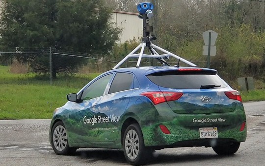
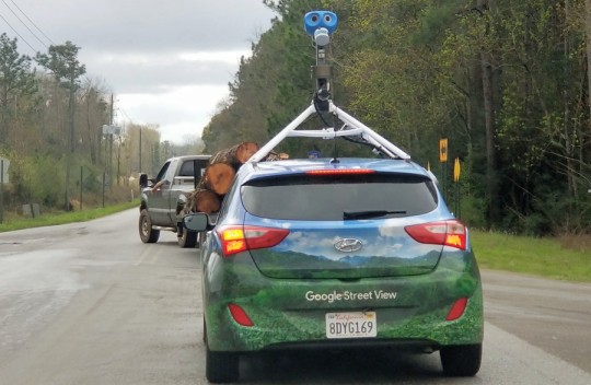
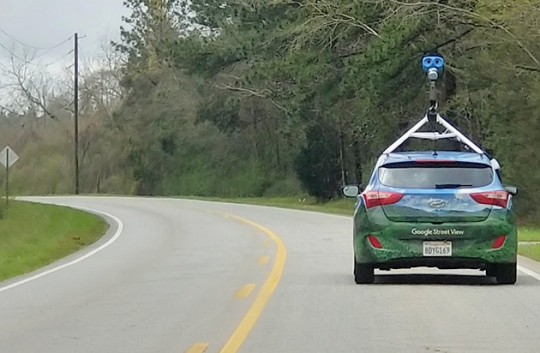
The Google Street View car was spotted in Molino and the Quintette community on Saturday.
The real magic is mounted above the car taking 360 degrees of photos. It has motion sensors to track its position. Three lasers are used to create 3D maps of the surroundings.
GPS sensors, along with sensors that measure speed and direction are used to make sure the images are placed in the right place on the Google Maps and in Google Earth. The sensors even provide enough information to tilt and align the images with hilly terrain.
Google uses face and license plate blurring technology to make sure that people and vehicles captured in the images can’t be identified.
There’s no word when the new images from North Escambia will be available on Google Street View.
NorthEscambia.com photos, click to enlarge.
Comments
11 Responses to “Google Street View Car Spotted In North Escambia”


Just saw the Fruity Maps car parked at the Marathon on 97 in Walnut Hill.
paul, I saw the Apple car Saturday morning at the Muscogee Rd fork.
And if you’re worried about the privacy issue–hope you don’t have a smartphone, a newer automobile, a smart TV, a computer, use the internet, etc.
@Mike You do not have an expectation of privacy in regards to the view of your property from a public right-of-way. You do have a right to plant trees, bushes, build a fence, etc. but that is where it ends.
I know at one point Google did recruit on Craigslist for contractors to drive the car for areas they were planning to map; obviously such specialized equipment belongs to Google and it is most likely shipped from place to place. Not sure if they use their own employees now or still contract out the gigs.
Just used google to look at Old Sacred Heart Hospital then I scrolled up to the new Publix but when I turned on Strong the store disappeared and it showed the empty lot. lol. When I went back to 12th up to Cervantes and turned right it showed Publix again but turning right on 11th it showed old N.B.Cook. Thought I was in the Twilight Zone. lol
Notice the Google car has a California license place. They may not be using local people in each geographic area. Perhaps the camera system has to be installed over there so therefore they have to drive the camera car across the country. I don’t like the privacy issues of our homes being shown all over the world. As mentioned in a comment here, I have seen homes blocked out from all angles, so it is possible. The only advantage in residential areas is when researching real estate.
Google Earth and Street View are neater than sliced bread.
Unless things have changed, you still have the option of blurring out your home face as well. Some of the smarter criminals can use the pictures to do a preliminary “casing” of homes via photos.
Don’t make it easy for them…make them guess and worry about overwhelming retaliation.
Apple maps came by my house yesterday in a white car. Scenic Heights area..
The person who said Matt doing stupid immature things would put us on the map was right.,,,,,,,we get an update on google.
.
It is so nice yo be able to go home without having to drive there, I enjoy their updated photos too.
It seems like they always do the rural areas in the worst weather. It’s always cloudy or foggy which makes the area look horrible.