Molino Park Holds Community Helpers Day (With Photo Gallery)
October 8, 2018
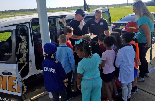
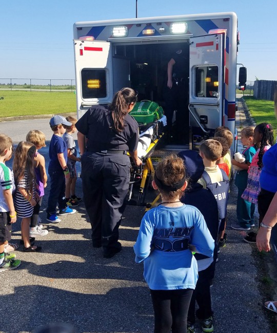
Molino Park Elementary School held a “Community Helpers Day” Friday for students to learn about some of people that are hard at work, often behind the scenes, in the Molino area.
The event included personnel and equipment from Escambia County EMS, the K-9 unit from the Escambia Road Prison, the Molino Station of Escambia Fire Rescue, the Escambia County Sheriff’s Office, J. Miller Construction Company, the Florida Highway Patrol, Escambia Search and Rescue, UPS, Gilmore Services, the Florida Forest Service and more.
Students also dressed as their favorite community helpers, such as firemen, policemen, teachers, nurses and others.
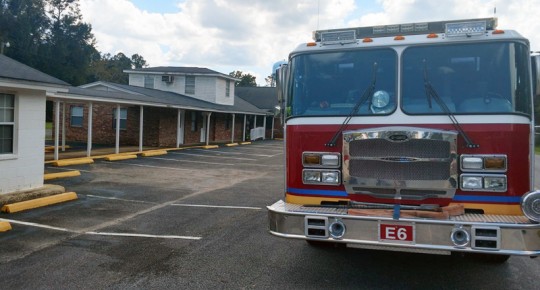
For a photo gallery, click here.
NorthEscambia.com photos by Kristi Barbour, click to enlarge.
Escambia County Weekly Meeting Schedule
October 8, 2018
Monday, Oct. 8
Escambia County Fire Rescue Interviews – Firefighters – 8 a.m., Escambia County Public Safety, 6575 N. “W” St.
Escambia County Marine Advisory Committee – 5:30 p.m., Escambia County Central Office Complex, 3363 West Park Place, Room 104
Tuesday, Oct. 9
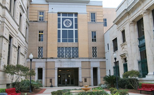
Committee of the Whole – 9 a.m., Ernie Lee Magaha Government Building, 221 Palafox Place, Board Chambers
Environmental Enforcement Special Magistrate – 1:30 p.m., Escambia County Central Office Complex, 3363 West Park Place
Escambia County Local Mitigation Strategy Board/Committee – 2 p.m., Escambia County Central Office Complex, 3363 West Park Place
Escambia County Housing Finance Authority – 5 p.m., 700 S. Palafox St., Suite 310
Merit System Protection Board – 5 p.m., Ernie Lee Magaha Government Building, 221 Palafox Place, 4th Floor Training Room
Affordable Housing Advisory Committee – 5:30 p.m., 420 W. Chase St.
Wednesday, Oct. 10
Development Review Committee – 1 p.m., Escambia County Central Office Complex, 3363 West Park Place
Santa Rosa Island Authority Board – 5 p.m., 1 Via De Luna Drive, Pensacola Beach
Thursday, Oct. 11
Science Hour – Reporting Invasive and Endangered Species: Rick O’Connor, UF/ IFAS Extension and Don Buchanan, FWC – 6 p.m., Escambia County Central Office Complex, 3363 West Park Place
Friday, Oct. 12
Contractor Competency Board - 9 a.m., Escambia County Central Office Complex, 3363 West Park Place
Saturday, Oct. 13
Escambia County Regional Roundup – 8 a.m. to noon, Blue Angels Elementary School, 1551 Dog Track Road
Three Injured In Bristol Park Shooting
October 8, 2018
Three people were shot near Bristol Park Sunday afternoon.
 Bristol Park is located off Michigan Avenue, not near Bristol Park Road in Cantonment.
The three adults were taken to a local hospital for treatment. There was no immediate word of any arrests in the shooting, which reportedly involved multiple vehicles.
Further details have not been released.
Bonus Gallery: Jay And Northview Bands, Cheerleaders And More
October 8, 2018
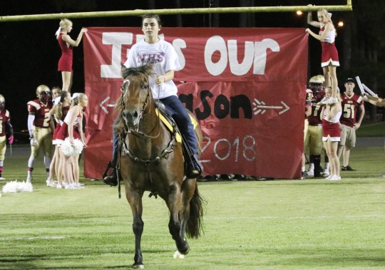
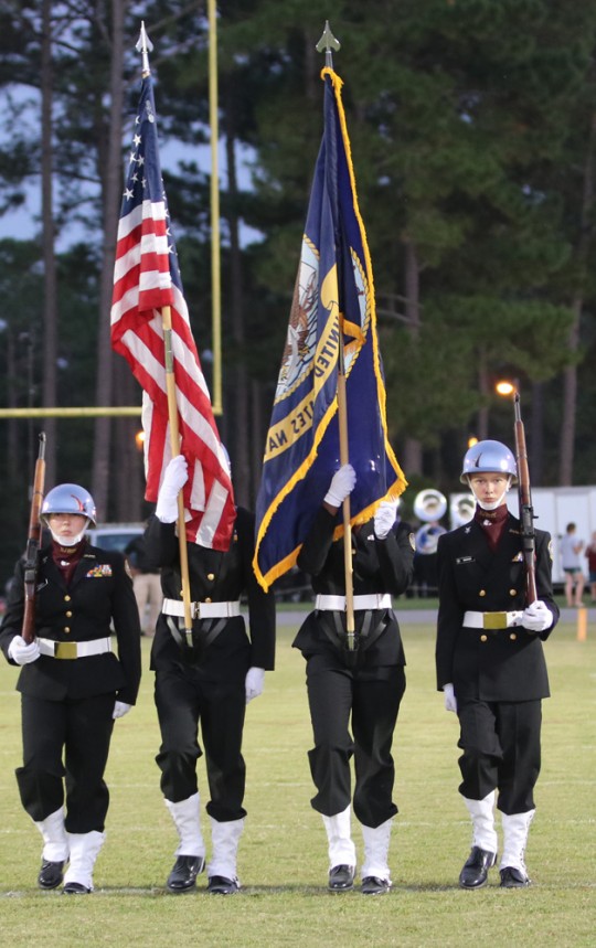 For a bonus gallery featuring the Northview and Jay bands, cheerleaders and other game scenes from Friday night, click here.
For game action photos, click here.
For homecoming court photos, click here.
For homecoming parade photos, click here.
NorthEscambia.com photos, click to enlarge.
Tent Revival Gets Underway
October 8, 2018
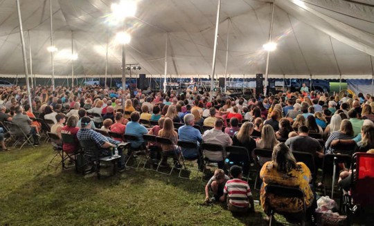
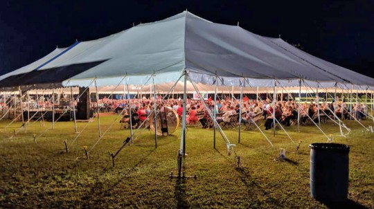
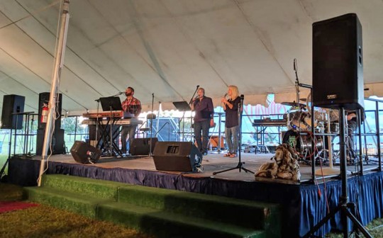
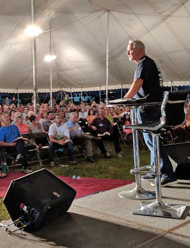 A tent revival opened Sunday night in Atmore.
The “Fire in the Field” event is going on each night at 7 p.m. through Thursday night with evangelist Ken Freeman and musicians Brandon and Jennifer Johnson.
The revival is sponsored by local churches in Escambia County.
Courtesy photos for NorthEscambia.com, click to enlarge.
Cantonment Church Evacuated Due To Smell Of Smoke
October 8, 2018
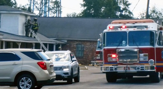
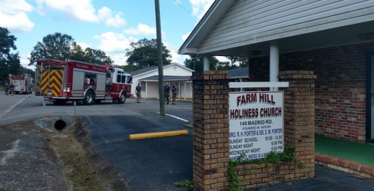
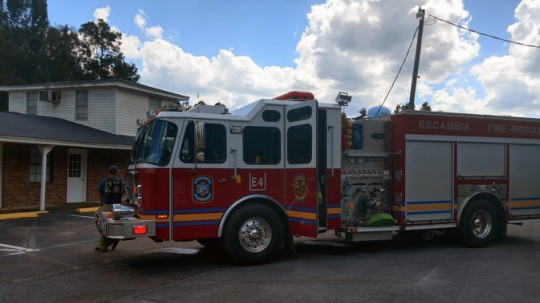
A Cantonment church was evacuated Sunday morning due to the smell of smoke.
The odor was reportedly traced to a light ballast. There were no injuries and no damage reported.
Cantonment, Ensley, Belleview, Beulah, Ferry Pass and Bellview stations of Escambia Fire Rescue were dispatched to the call, along with Escambia County EMS.
Photos for NorthEscambia.com, click to enlarge.
Scott Declares State Of Emergency, Urges Storm Prep
October 7, 2018

Gov. Rick Scott declared a state of emergency Sunday for Northwest Florida as a potential hurricane threatens to hammer the region in the middle of the week.
Scott issued an executive order declaring an emergency in the Panhandle and the Big Bend — generally areas surrounding Tallahassee — because of Tropical Storm Michael headed toward the Gulf of Mexico.
The National Hurricane Center said nearly “all of the intensity models bring the cyclone to hurricane strength over the Gulf of Mexico in two to three days, and the NHC forecast follows suit.”
For the latest forecast on the storm, click here.
“There is an increasing risk of dangerous storm surge, rainfall and wind impacts over portions of the northern Gulf Coast by mid-week, although it is too soon to specify the exact location and magnitude of these impacts,” the hurricane center advisory said. “Residents in these areas should monitor the progress of this system.”
Scott also focused on preparedness in a statement released by his office Sunday morning, saying Floridians “know just how quickly the path of a storm can change, and that’s why we all must be vigilant and get prepared today.”
“With the National Hurricane Center forecasting Tropical Depression 14 to strengthen and impact Florida’s Panhandle as a hurricane, families need to get prepared.” Scott said in the statement. “Today, I will be declaring a state of emergency in counties in the Florida Panhandle and Big Bend and directing the State Emergency Operations Center to activate. Later today, I will receive a full update and briefing on the forecast and potential impacts of the storm from federal, state and local emergency management officials. Our state understands how serious tropical weather is and how devastating any hurricane or tropical storm can be.”
by The News Service of Florida
Accident Claims The Life Of A Pedestrian On Highway 95A In Cantonment
October 7, 2018
A Cantonment accident claimed the life of a pedestrian Saturday night in Cantonment.
The Florida Highway Patrol said 31-year old Ronald Smedley of Milton was struck by a Ford Expedition on Highway 95A just south of Archer Road about 8:35 p.m. Smedley was walking in the roadway when he was hit by a Ford Expedition driven by 43-year old Charles Kimbel of Cantonment.
Smedley was pronounced deceased on scene by first responders. Kimbel and his passenger, 47-year old Brenda Kimbel of Cantonment, were not injured.
No charges were filed.
Highway 95A was closed for several hours following the accident.
This story will be updated when additional details are available.
File photo.
Tropical Storm Michael Forms
October 7, 2018

Tropical Storm Michael formed Sunday morning. Complete details are in the graphics on this page.
The area of low pressure is centered just east of the Yucatan Peninsula, about 120 miles south of Cozumel, Mexico this evening. The system should slowly move northward and emerge into the southern Gulf of Mexico late Sunday night into Monday morning. A northward motion should continue across the east-central Gulf of Mexico through Tuesday, before a gradual northeastward turn is possible late Tuesday into Wednesday. The future track of the system remains highly uncertain. It is important to note that all of the northern Gulf Coast from southeast Mississippi to the western Florida Panhandle remains within the forecast cone.
Rain chances will be on the rise next week. A high risk of rip currents begins Monday and surf will also begin increasing early next week.
The system could bring storm surge, rainfall, & wind impacts to the northern Gulf Coast by mid-week depending on the track of the system. It is still too soon for specifics.


Rain Chance Return With Michael
October 7, 2018
For the latest on the tropics, click here.
Here is your official North Escambia area forecast:
Columbus Day: A 40 percent chance of showers and thunderstorms after 1pm. Mostly sunny, with a high near 88. East wind 5 to 10 mph.
Monday Night: A 20 percent chance of showers and thunderstorms. Mostly cloudy, with a low around 72. East wind 5 to 10 mph.
Tuesday: A 40 percent chance of showers and thunderstorms. Mostly cloudy, with a high near 85. East wind 10 to 15 mph, with gusts as high as 20 mph.
Tuesday Night: A 40 percent chance of showers and thunderstorms. Mostly cloudy, with a low around 74. East wind around 10 mph.
Wednesday: Tropical storm conditions possible. Showers and thunderstorms likely. Cloudy, with a high near 83. Chance of precipitation is 70%.
Wednesday Night: Tropical storm conditions possible. A 30 percent chance of showers and thunderstorms. Mostly cloudy, with a low around 70.
Thursday: A 20 percent chance of showers and thunderstorms. Partly sunny, with a high near 85. North wind around 10 mph.
Thursday Night: Partly cloudy, with a low around 61. North wind around 5 mph.
Friday: Sunny, with a high near 81.
Friday Night: Mostly clear, with a low around 58.
Saturday: Sunny, with a high near 80.
Saturday Night: Partly cloudy, with a low around 58.
Sunday: Mostly sunny, with a high near 79.






![[Image of probabilities of 34-kt winds]](https://www.nhc.noaa.gov/storm_graphics/AT14/refresh/AL142018_wind_probs_34_F120+png/024012.png)
