Escambia County Updated Preliminary Flood Maps Available
February 6, 2017
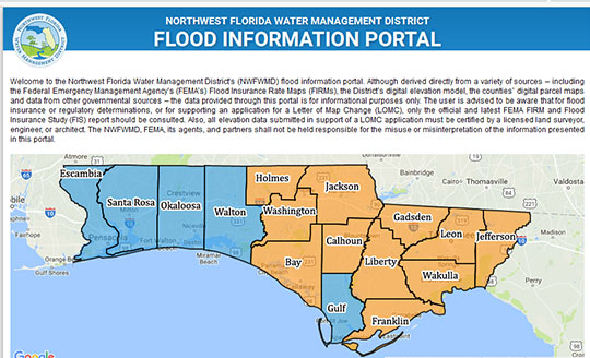
Updated preliminary flood maps are now available for Escambia County on the Northwest Florida Water Management District’s flood information portal, which provides flood data to Northwest Florida residents for informational purposes only.
To check the proposed flood zone of a property, click on the Escambia County map and the flood information portal will open up to search for a property by address. The “effective flood zone” is the current information and “preliminary flood zone” is what is proposed. Citizens are encouraged to preview the maps online.
Flood Risk Open House meetings for the public will be coordinated by FEMA in the community during the month of April, providing residents an opportunity to view the maps and to speak one-on-one with specialists about topics such as flood zones, base flood elevations, flood insurance, the appeals process, mitigation grants and building requirements. Attending specialists will include representatives from various divisions of NWFWMD and FEMA.
Comments
One Response to “Escambia County Updated Preliminary Flood Maps Available”


I followed the link but couldn’t get anywhere by clicking on the map. Some of their other clickables had 404 errors so maybe the page is still under development.
Then again, I’m not the sharpest crayon in the box either!