IP Explosion: Monitoring Local Creeks For Chemical Impacts
January 24, 2017
The Escambia County Natural Resources Management Division is implementing a monitoring plan for waterways in the Cantonment area to keep watch from or any possible impact from Sunday night’s explosion at International Paper.
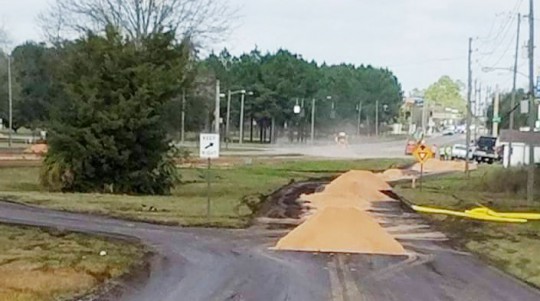
“Chemicals of concern” were deposited on both sides of Highway 29, according to county officials. Highway 29 is located on a ridge that generally divides the two major watersheds — Escambia and Perdido — in Escambia County.
The county will begin a monitoring program in adjacent waterways for indicators for any chemicals from the explosion.
The monitoring will occur at both Eleven Mile Creek (to the west of Highway 29) and Big Rock Creek (to the east of Highway 29) for an increase of pH and/or decrease of dissolved oxygen. Officials said local creeks are generally slightly acidic with a pH around 6.0 and the black liquor has a reported pH of between 12-13.
Preliminary results Monday showed no impact on Eleven Mile Creek; results were not complete from Big Rock Creek. The sampling will continue through a couple of rain events to monitor for any changes.
Pictured top: Crews work to clean Highway 29 and Highway 95A near the International Paper mill in Cantonment on Monday. NorthEscambia.com photo by Kristi Barbour, click to enlarge.
Comments
One Response to “IP Explosion: Monitoring Local Creeks For Chemical Impacts”


Bear Creek is the closest to the fallout zone, and it starts on my property off Greenberry Dr. They can have access to Bear Creek at its beginning; less than 1000 feet from the fallout right here.