Escambia County Evacuation Maps
August 28, 2012
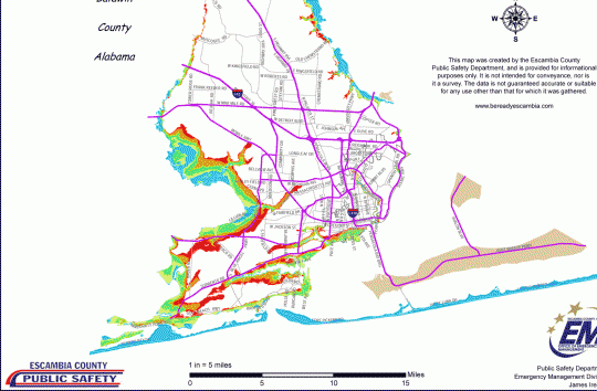
An Escambia County evacuation map is below. Click any portion of the map to enlarge.
Escambia County reduced evacuation orders for Zones A only. This includes the barriers islands of Perdido Key and Pensacola Beach as well as low-lying coastal areas.
Comments
2 Responses to “Escambia County Evacuation Maps”


thank you
Thank you so much for posting this map! I am assuming they are ordering these evacuations due to the potential flooding?